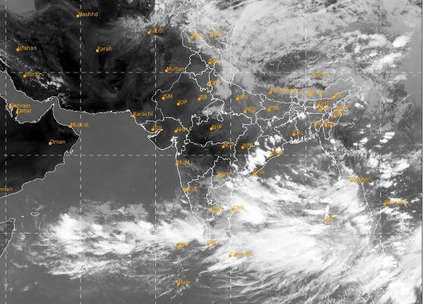
Bhubaneswar: A cyclonic circulation has already been formed over east-central and adjoining North-East Bay of Bengal which is very likely to intensify into a low pressure by 22nd May and may further intensify into a severe cyclonic storm ‘Yaas’ by 24th May. It is likely to move northwestwards to make landfall near north Odisha and West-Bengal coast by 26th evening.
However, private weather forecasting agency Skymet has predicted that the upcoming cyclone ‘Yaas’ may not become as powerful as cyclone ‘Tauktae’, because Tauktae had a long sea travel and therefore intensified into an extremely severe cyclonic storm (ESCS). However, Yaas could have barely 500-600 km of ocean stretch before the landfall. So it may not become as powerful as the cyclone in the Arabian Sea.
“Environmental conditions are favorable in terms of Sea Surface Temperature and Vertical Wind Shear. Accordingly, it may intensify to a severe cyclonic storm. Thereafter, the proximity of land and likely entrainment may not allow its further strengthening. Still, the storm will be strong enough to cause inclement weather conditions in terms of very heavy rainfall and high velocity gale winds” said Skymet weather.
The Caveat
However, skymet has warned that more clarity about the cyclone will come in the next 24-48 hours after the cyclogenesys starts. Cyclones are known for defying timeline, intensity and track. It has been observed in case of ‘Tauktae’, which was more than anticipated before. So in the upcoming cyclone also, preparations should be made to face any kind of eventuality.